Pajaro to Prunedale G12 Study
The Pajaro to Prunedale g12 Corridor Study was initiated by the Transportation Agency for Monterey County (TAMC) and the County of Monterey to address safety and congested traffic conditions experienced along a generally north-south travel corridor, known as G12, between Pajaro and Prunedale, in northern Monterey County. Over the past five years, with improved connections to Highway 1 to the northwest, and US 101 to the south, the G12 corridor has become a viable alternative for regional north-south travel between population centers in Santa Cruz County and Monterey County.
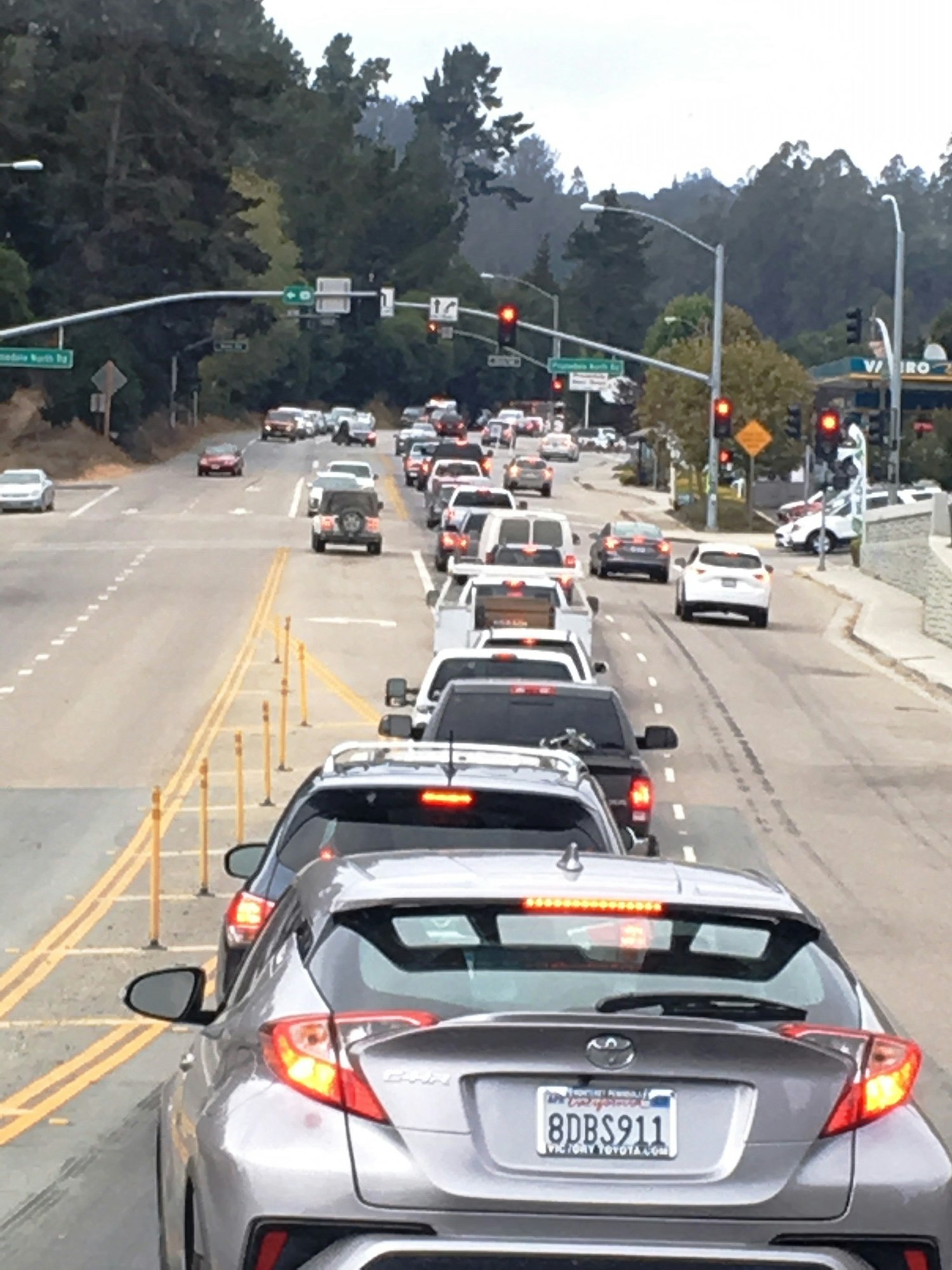
Unfortunately, this attractive alternative regional route now competes with the local agricultural and rural travel needs of the communities of Pajaro, Las Lomas and Prunedale. The G12 corridor has seen an increase in travel as well as an increase in the number of collisions over the past few years. There were 832 reported collisions along the G12 corridor over five years (2012-2018), with 11 fatalities, and 27 bicycle and pedestrian collisions. The collision rate for G12 is calculated to be 2.14 accidents per million miles traveled. This collision rate is three times higher than the statewide basic average rate for similar facilities.
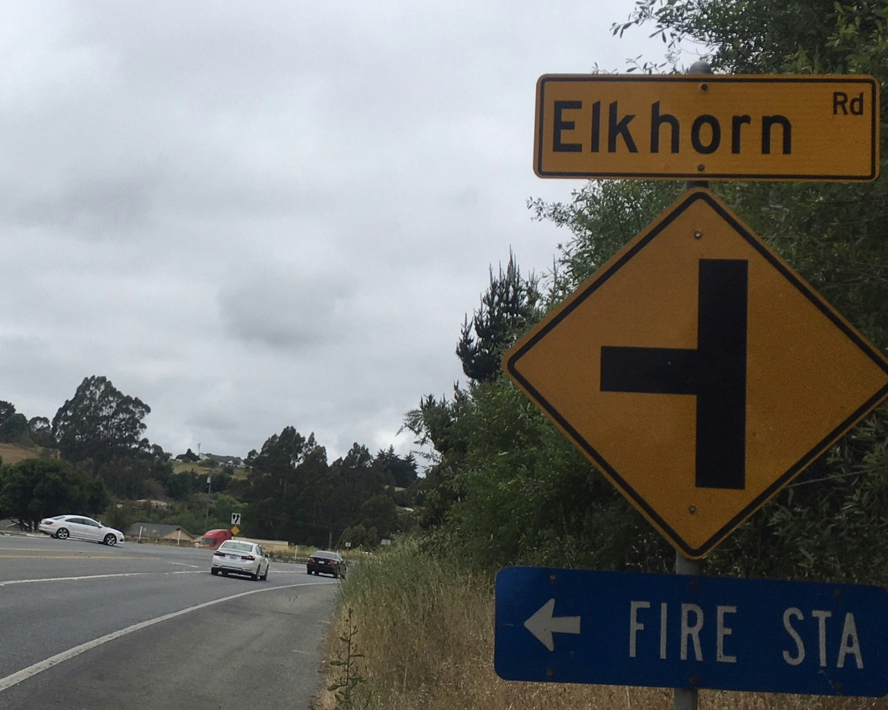
The G12 corridor is 10.5 miles in length and extends south along Porter Drive and Salinas Road from the Santa Cruz County/City of Watsonville limits, then east on Elkhorn Road and Hall Road, then south again on San Miguel Canyon road, terminating at US 101 in Prunedale. The G12 corridor traverses the drainage basin for the Elkhorn Slough National Estuarine Reserve, which in turn flows into the Monterey Bay at Moss Landing. This special status of the Elkhorn Slough and Monterey Bay Marine Sanctuary make planning for stormwater management and runoff a high priority.
The G12 corridor has been segmented into five Corridor Zones which were utilized and further detailed in the Existing Conditions Report (Appendix A). The corridor zones were segmented based on existing roadway characteristics, adjacent land uses, and field observations. For strategic funding purposes, the G12 corridor has now been re-segmented into six Project Areas as identified below. This report will focus only on the reference to the Project Areas, which are analyzed as separate Chapters within this Corridor Study Figure E-1 present the Study Area Map and identifies the locations of the Project Areas.
Project Area 1 – San Miguel Canyon Road (Prunedale to Castroville Boulevard)
Project Area 2 – San Miguel Canyon Road
Project Area 3 – Hall Road (Las Lomas)
Project Area 4 – Elkhorn Road Bridge
Project Area 5 – G12 at Werner Road/Salinas Road
Project Area 6 – Salinas Road & Pajaro